Estes Park to Glenwood Springs
A Thru-Hiking Route Across Northern Colorado
Northern Colorado Trail
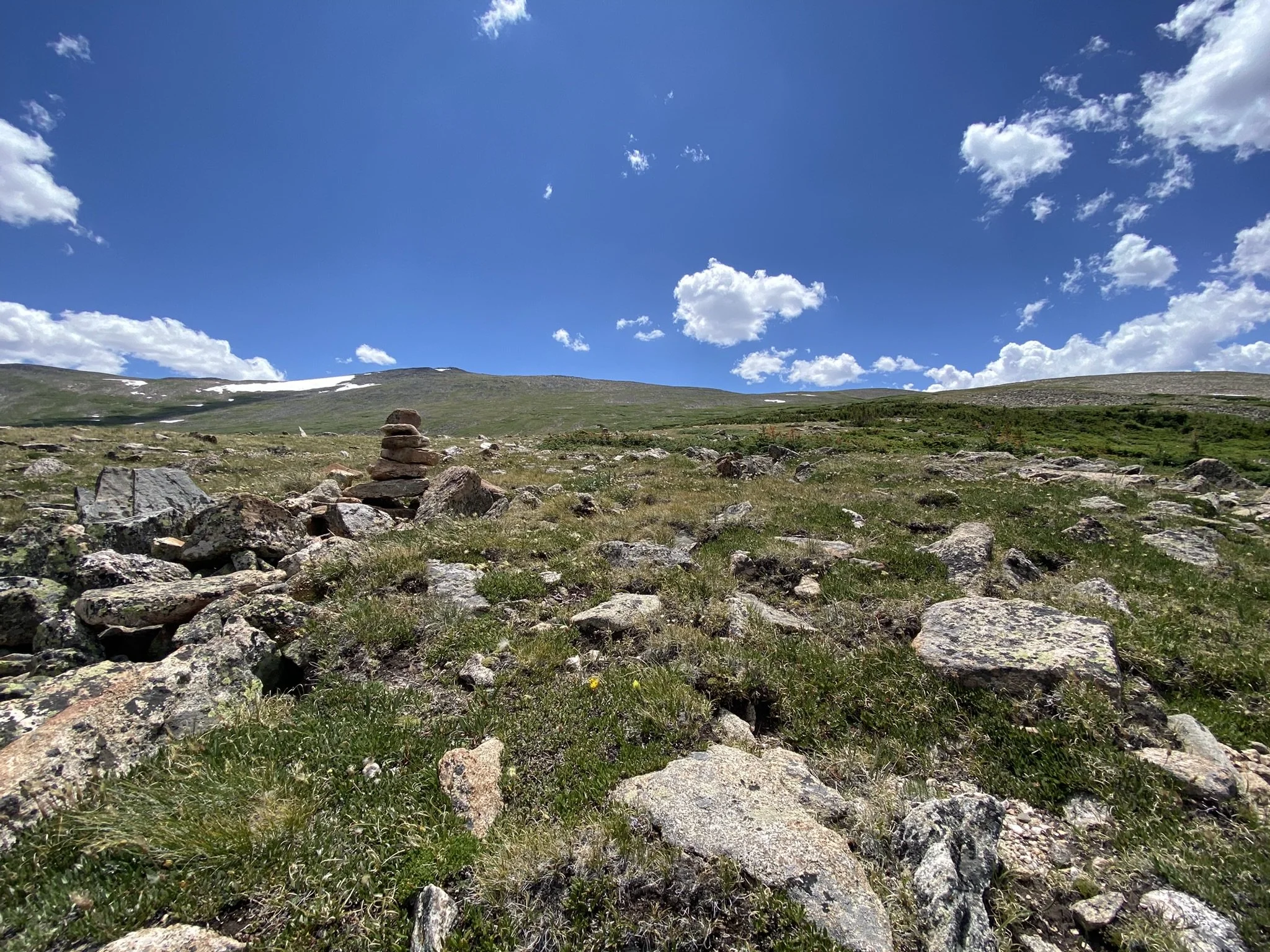
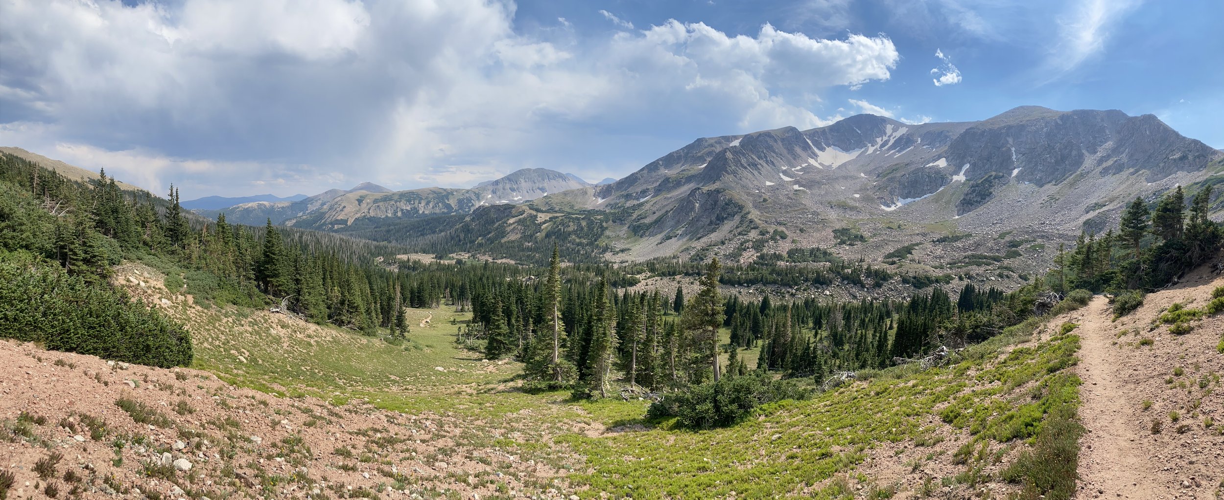
The NOCO Trail is a 300-mile route that stretches across the stunning landscapes of northern Colorado. From the rugged peaks of Rocky Mountain National Park to the scenic vistas of the Flat Top Wilderness, this route offers hikers, backpackers, trail runners and adventurers a challenging and unforgettable journey.


Route Stats…
4 Segments
Total Distance: 304.4 miles (490.0 km)
Ascent: 49,861 ft (15,198 m) (WEBO/SOBO)
Descent: 50,703 ft (15,454 m) (WEBO/SOBO)
Highpoint: 12,507 ft (3,812 m) (Comanche Peak - RMNP)
Route Highlights…
Rocky Mountain National Park
State Forest State Park
5 Wilderness Areas
4 National Forests
4 Mountain Ranges & 1 Plateau
Towns: Estes Park, Walden, Steamboat Springs, Oak Creek, Yampa, Glenwood Springs
Interested in hiking the Northern Colorado Trail? Explore our trail guides, maps, and GPS routes & waypoints to start planning your adventure today.
Trail Alerts and Updates